Industries
Aerial Photography
Drones have transformed aerial photography, making it more accessible and cost-effective than ever before. These unmanned aerial vehicles (UAVs) equipped with high-resolution cameras can capture stunning images and videos from unique vantage points. They enable photographers to capture landscapes, events, and structures from angles that were previously difficult or impossible to reach. Drones have revolutionized industries such as real estate, tourism, and filmmaking, offering new perspectives and creative possibilities. With their ability to fly at varying altitudes and navigate tight spaces, drones have become invaluable tools for photographers looking to push the boundaries of traditional aerial photography.


Commercial Real Estate
Drones have revolutionized commercial real estate by providing aerial perspectives that were previously costly or impossible to obtain. These unmanned aerial vehicles (UAVs) equipped with cameras and sensors can capture high-resolution images and videos, offering detailed views of properties and their surroundings. This technology is particularly useful for marketing purposes, as it allows real estate agents to showcase properties from unique angles and highlight key features. Drones are also used for site surveys and inspections, enabling developers to assess land conditions and plan construction projects more efficiently. Overall, drones have become invaluable tools in the commercial real estate industry, streamlining processes and enhancing property visibility.


Solar Energy
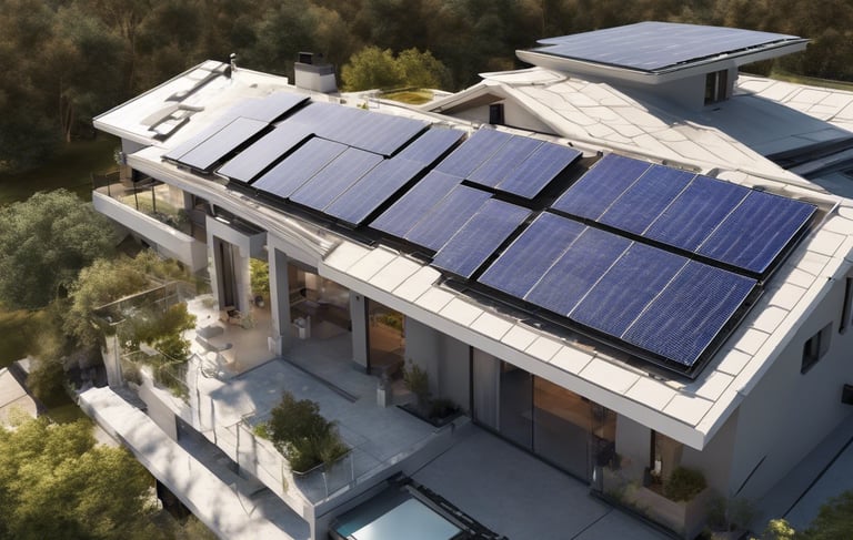
Drones are increasingly being used in the solar energy industry for various purposes, ranging from site surveying and maintenance to inspection and monitoring. One of the key applications of drones in solar energy is in the initial site surveying phase. Drones equipped with high-resolution cameras and sensors can quickly and efficiently survey potential solar farm locations, providing detailed aerial imagery and topographical data that can inform the design and layout of the solar panels for optimal energy production.
Drones have significantly impacted the media and marketing industries, offering innovative ways to capture attention and engage audiences. These unmanned aerial vehicles (UAVs) equipped with cameras can capture stunning aerial footage and images, providing unique perspectives that enhance storytelling and visual content. In the media sector, drones are used to cover news events, sports competitions, and film productions, providing dynamic and immersive footage. In marketing, drones are utilized for promotional videos, real estate tours, and event coverage, helping brands stand out and connect with their target audiences. Drones have become powerful tools for creating compelling visual content that drives engagement and enhances brand visibility in a crowded digital landscape.
Drone Mapping
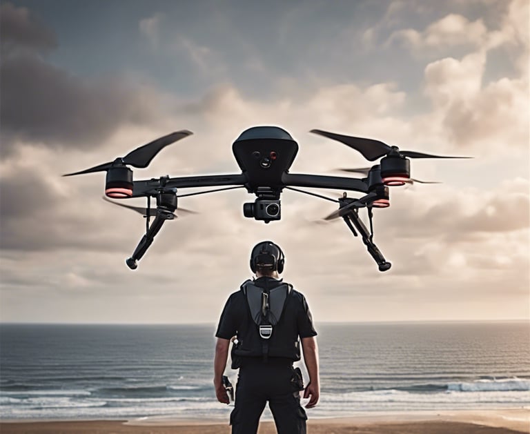
Drone mapping, also known as aerial surveying or photogrammetry, is the process of using drones to capture aerial images of an area and then stitching these images together to create detailed maps or 3D models. This technology offers numerous advantages over traditional mapping methods, including cost-effectiveness, rapid data collection, and the ability to access remote or hazardous areas. Drone mapping is used in various industries such as agriculture, construction, mining, and environmental monitoring. It provides accurate and up-to-date spatial information, enabling better decision-making, resource management, and project planning. Overall, drone mapping is a powerful tool for generating detailed maps and models for a wide range of applications.

